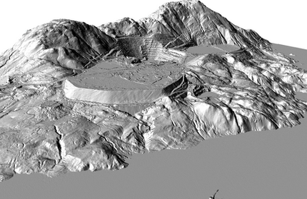
LiDAR-based mapping of pre-contact cultural pits/depressions
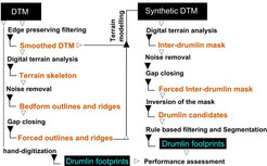
Mapping of putative pre-contact cultural pits/depressions from LiDAR-based bare-ground shaded terrain models. Remote areas of interior...

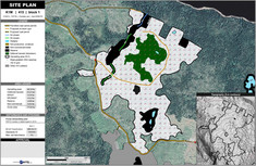
Custom Mapping and Maps
your template, your decisions

Spatial Databases
with Geographical Information Systems

Spatial Forestry
integrated mapping, permitting, tracking

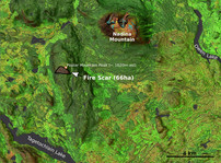
Satellite-based mapping
inventory, compliance, emergency response
Aerial Drone Services
cost-effective imaging and mapping
Underwater Drone Services
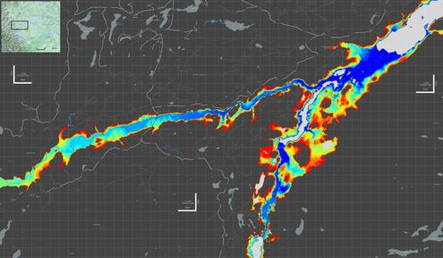
simplified subaquatic operations




Reach us via
phone: 604-774-8289
email: inquiries@xyintel.com
Or meet us in Powell River, Sunshine, Coast, BC, Canada